About Hafen Barnkrug
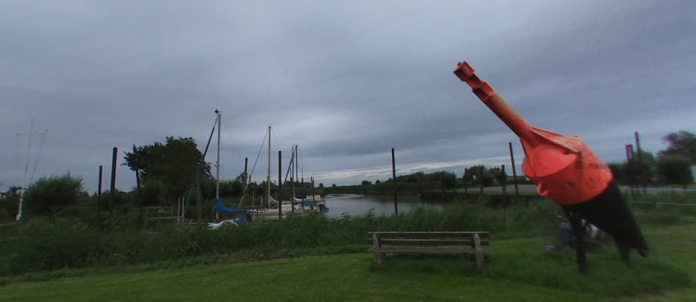
A small, idyllic Elbe harbour operated by the Hafengemeinschaft Barnkrug behind a protective quay wall Coordinates: Barnkruger Hafenstraße, 21706 Drochtersen (Ortsteil Barnkrug, pop. ~645) Quay structures have recently been reinforced with a steel wall, with historic wooden sections preserved for heritage reasons Tidal Access The Barnkruger Loch and Süderelbe channel dry out at low tide—about 1 m depth remains only from 2 h before until 2 h after high water (normal level) Narrow & shallow channel: careful timing essential. Mooring & Facilities Floating piers reached via ladders; limited guest services on site Berthing fees are very low—a highlight for budget-conscious sailors . No fuel, electricity, pump-out, or potable water—bring essentials with you. Anchorage Option Instead of entering the harbour, you can anchor southwest of Schwarztonnensand Harbourfest & Community The harbour hosts an annual "Hafenfest", celebrating completion of quay renovations and featuring local boats like “Käpt’n Klünder” and “Emmi” Access windows for event arrivals are tide-dependent (3–4 h around high water) Tips for Boaters Plan meticulously using tide tables—don’t attempt entry outside the narrow window. Pack supplies: no shore services. Enjoy the peace—a lesser-known gem with friendly locals and a quaint festival atmosphere. Barnkrug Port Community Contact: Rolf Brandt Barnkruger Str. 68 21706 Drochtersen Phone: +49 4148 203 Email: aurbrandt@t-online.de


Facilities
Port Information
Telephone
Berth Sizes
Depth at MLW
Manoeuvrability
Channel Marking
Port of Entry
Overseas Visitor Berths
Dock Type
Style Side To
Tidal Flow
Weather Forecast
 N 4–6 knots.
 Increasing from 9 to 17°C
 UV Index: 0 - Low
 Sunny
Sunny
- NW 5 knots increasing to 11 knots.
- Increasing from 18 to 23°C
- UV Index: 6 - High
- Sunny
- NW 11–16 knots. Gusts up to 20 knots.
- 20 to 25°C
- UV Index: 5 - Moderate
- Mostly fine